Free Printable Latitude and Longitude Worksheets for Class 5
Class 5 latitude and longitude worksheets with printables, practice problems, and answer keys help students master coordinate systems and map skills through engaging free PDF activities from Wayground.
Explore printable Latitude and Longitude worksheets for Class 5
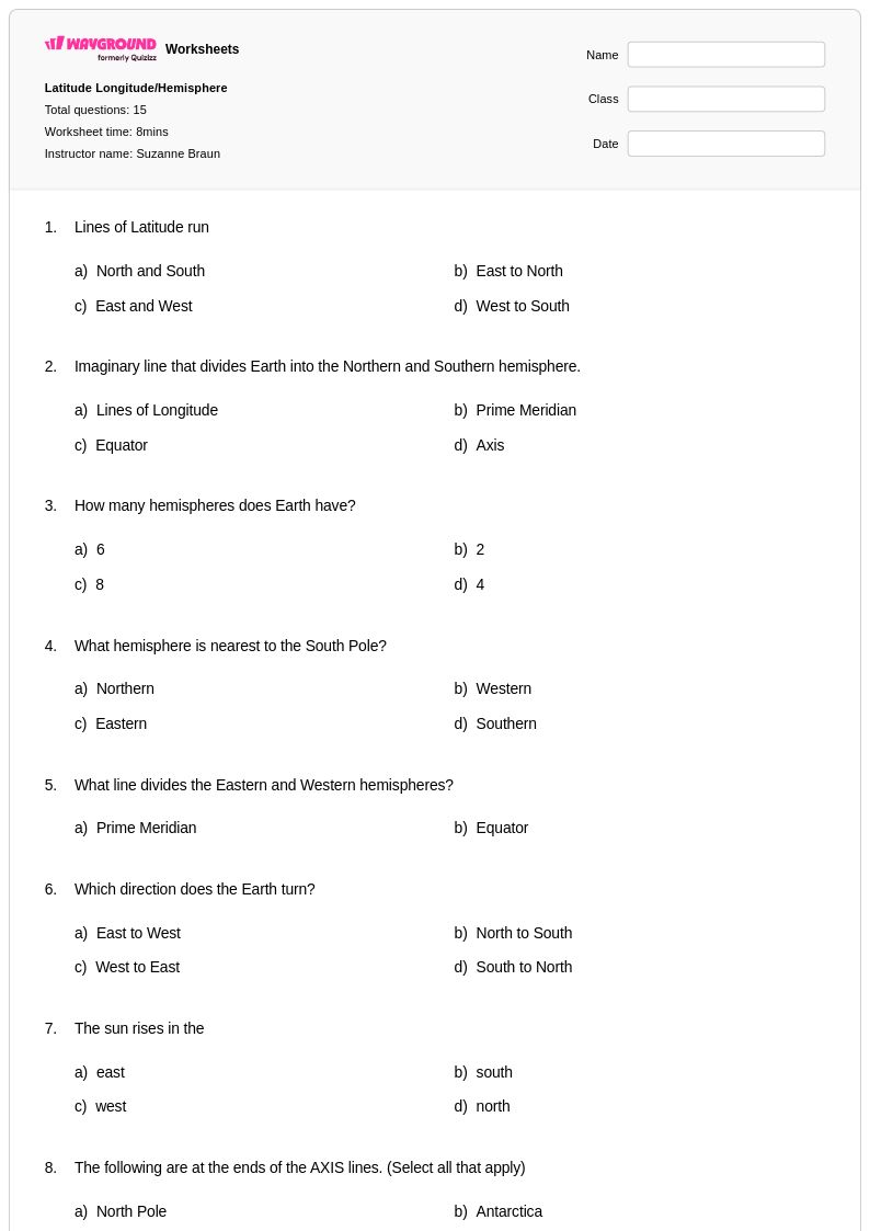
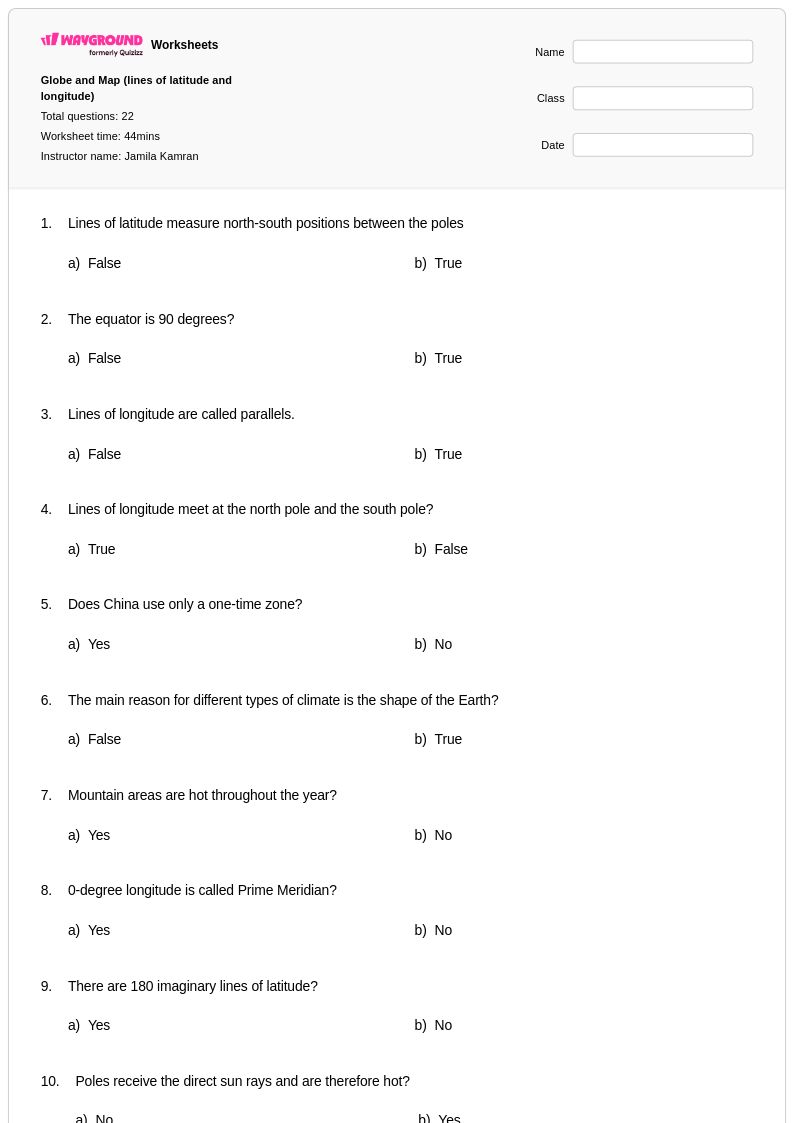
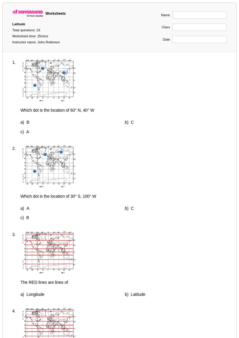
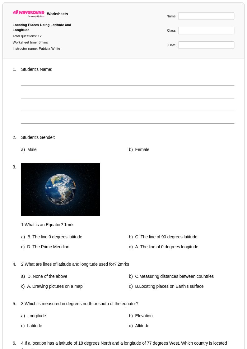
Class 5 latitude and longitude worksheets available through Wayground (formerly Quizizz) provide essential practice for students learning to navigate and understand Earth's coordinate system. These comprehensive printables focus on building foundational map skills by teaching students how to identify specific locations using degrees of latitude and longitude, read coordinates accurately, and plot points on various map projections. The worksheets strengthen critical geography skills including spatial reasoning, mathematical precision, and global awareness through engaging practice problems that range from basic coordinate identification to more complex navigation challenges. Each resource includes detailed answer keys and is available in convenient pdf format, making them accessible for both classroom instruction and independent study sessions.
Wayground (formerly Quizizz) supports educators with an extensive collection of teacher-created latitude and longitude resources, featuring millions of worksheets that can be easily discovered through robust search and filtering capabilities. The platform's standards-aligned materials ensure that Class 5 coordinate system instruction meets curriculum requirements while offering differentiation tools that allow teachers to customize content for varying skill levels within their classrooms. These flexible resources are available in both printable and digital formats, including downloadable pdfs, enabling seamless integration into lesson planning whether for whole-class instruction, targeted remediation, or enrichment activities. The comprehensive worksheet library empowers teachers to provide consistent skill practice opportunities that build students' confidence in reading maps, understanding global positioning, and developing essential geographic literacy competencies.
FAQs
How do I teach latitude and longitude to students who have never used a coordinate system before?
Start by introducing latitude lines (parallels) and longitude lines (meridians) as separate concepts before combining them. Use a physical or projected globe to show how latitude measures distance north or south of the equator and longitude measures distance east or west of the prime meridian. Once students are comfortable with each axis independently, practice locating real-world cities using coordinate pairs to build confidence with the full system.
What exercises help students practice reading latitude and longitude coordinates?
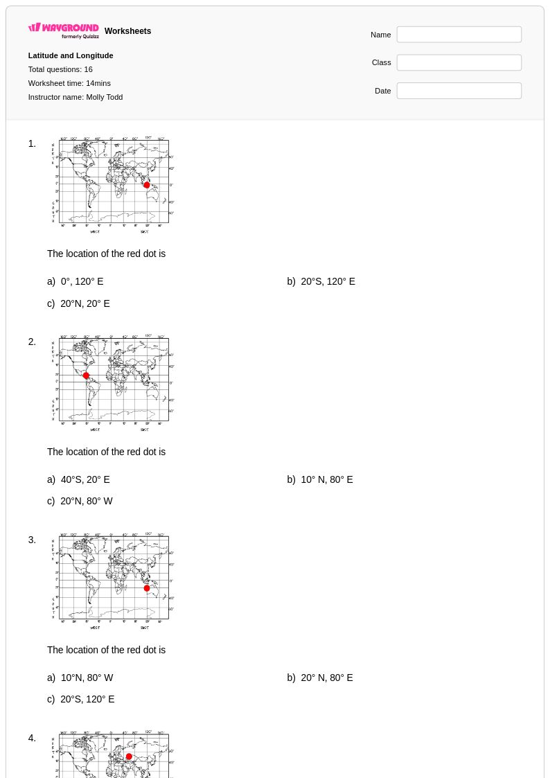
Effective practice exercises include coordinate identification tasks where students read a map and write the coordinates of marked locations, and plotting tasks where students are given a coordinate pair and must mark the correct point on a blank grid. Adding distance calculation problems and hemisphere identification challenges builds deeper fluency. Varied problem formats prevent rote memorization and push students to apply the skill in different contexts.
What mistakes do students commonly make when working with latitude and longitude?
The most common error is reversing latitude and longitude — students frequently list longitude first or confuse which value refers to north-south versus east-west. A second frequent mistake is ignoring hemisphere indicators, writing coordinates without N, S, E, or W designations and then misplotting locations. Consistently requiring students to label hemisphere direction in every answer, and providing immediate feedback through answer keys, helps correct these patterns early.
How can I differentiate latitude and longitude instruction for students at different skill levels?
For students who are still developing foundational skills, begin with whole-degree coordinates on simplified grid maps before introducing minutes or decimals. Advanced learners can work with precise coordinates involving degrees and minutes, or take on challenge problems like calculating approximate distances between two coordinate points. On Wayground, teachers can also apply accommodations such as reduced answer choices or read-aloud support for individual students, ensuring all learners can access the same core material at an appropriate level.
How do I use Wayground's latitude and longitude worksheets in my classroom?
Wayground's latitude and longitude worksheets are available as printable PDFs, which work well for traditional classroom instruction, homework packets, and independent practice stations. They are also available in digital formats, making them suitable for technology-integrated classrooms and remote learning. Teachers can host the worksheets as a quiz directly on Wayground, enabling real-time response tracking and faster feedback without additional setup.
How do latitude and longitude connect to other geography skills students need?
Latitude and longitude form the foundation for map reading, spatial reasoning, and geographic literacy more broadly. Students who are comfortable with coordinate systems can more readily interpret climate zone maps, time zone charts, and navigation data, all of which rely on the same global reference grid. Building fluency with coordinates early gives students a reusable framework they will encounter across social studies, earth science, and real-world contexts.