
8.9C Topographic Maps and Erosional Features
Presentation
•
Science
•
7th Grade
•
Practice Problem
•
Medium
Standards-aligned

Alonzo Martinez III
Used 73+ times
FREE Resource
2 Slides • 14 Questions
1
8.9C Topographic Maps and Erosional Features PPP Lesson
We will introduce topographic maps and satellite views by reading the Quizizz Slides.
I will interpret topographic maps and satellite views by answering questions with 100% accuracy.

2
3
Multiple Choice

A topographic map is provided. In which direction is the river flowing?
4
Multiple Choice

A topographic map depicting a river flowing over land is provided. The river represented by the topographic map is flowing in which direction?
5
Multiple Choice
A topographic map is provided. In which direction is the river flowing?
6
Multiple Choice

A picture of a satellite image with a river flowing over land is provided. The river is flowing towards the –
7
Multiple Choice

The illustration here represents a satellite image of a river. In which direction is the river heading?
8
Multiple Choice

The illustration here represents a satellite image of a mountain region. What is the agent of erosion pictured here?
9
Multiple Choice

A topographic map is provided. A geologist wants to predict flow rates of the river coming down the mountain in the topographic map. What is the approximate drop in elevation between point X and point Y?
10
Multiple Choice

Provided are satellite photos from two different years of the same beach. The point of sand, indicated with an arrow, has shifted due to wave action. If similar rates of erosion and deposition occur, where would be the logical place to expect the point of sand to be located by 2015?
11
Multiple Choice
12
Multiple Choice

A river is running through the region represented by the topographic map shown here. In which portion of the river will the water be flowing fastest?
13
Multiple Choice

A topographic map of a region is provided. Which position indicated by the letters is at an elevation of 480 meters?
14
Multiple Choice

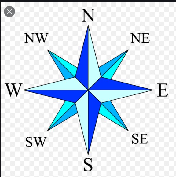
A river and four of its tributaries are identified by the satellite image pictured here. Which of the tributaries is flowing towards the south?
15
Multiple Choice

A topographic map is provided. The highest peak represented by the topographic map can be found in which quadrant?
16
Multiple Choice
8.9C Topographic Maps and Erosional Features PPP Lesson
We will introduce topographic maps and satellite views by reading the Quizizz Slides.
I will interpret topographic maps and satellite views by answering questions with 100% accuracy.
Show answer
Auto Play
Slide 1 / 16
SLIDE
